
Storm Boelo Amber weather warning
The Met Office has issued an Amber warning for strong winds across most of Scotland, including Aberdeenshire over Saturday and Sunday (Oct 24 and 25).
Coupled with heavy rainfall, road, rail, air and ferry services are all likely to be affected by the conditions, with longer journey times and cancellations possible, as well as potential restrictions on bridges and other exposed routes.
Those considering travelling should plan ahead and avoid any unnecessary journeys. Allow extra time for journeys and drive to conditions if travel cannot be avoided. Please note conditions may vary across the area.
Teams across the council will be monitoring conditions throughout the weekend and will respond to any issues where conditions allow. The strong winds could lead to some power disruption and people are advised to prepare accordingly.
Potential impacts:
• Strong winds can bring large waves, flying debris, fallen trees and localised flooding, creating hazardous conditions across the region. Power loss is a possibility.
• Please avoid coastal paths and clifftops during stormy weather. Even from the shore, large breaking waves can sweep people off their feet and out to sea.
• Rivers and burns may also rise quickly, so stay well back from flooded riverbanks and fast-flowing water.
• Woodland and forestry areas can be particularly dangerous during high winds due to the risk of falling trees and branches. Avoid entering forests or wooded areas where possible.
• Now is the time to protect your property and prevent injury. Check for loose items around your home, including bins, garden furniture and trampolines, and secure them before the worst of the weather arrives.
Please do not attempt to clear fallen trees. To report fallen trees on the road network, call 03456 081205 during office hours. Out of hours, contact Police Scotland on 101. In an emergency, always dial 999. It may not be possible for us and contractors to safely clear fallen trees during periods of high winds or in the dark.
Flood risk
SEPA is warning that flood risk will remain elevated across this weekend and into next week. Check https://beta.sepa.scot/flooding/ and social media channels for updates.
Communities must start to take precautionary action now. Households and businesses should make arrangements for flood protection to safeguard their own property from any flooding.
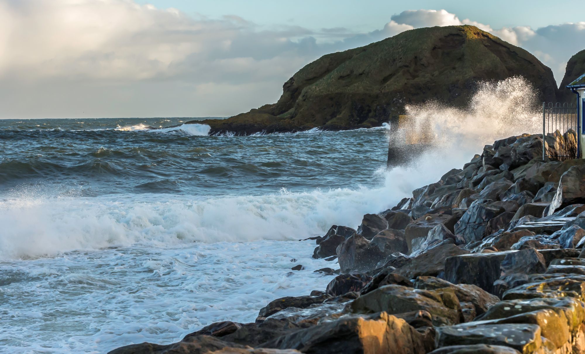
Please avoid coastal paths and clifftops during stormy weather
Winter treatment
Road surface temperatures are forecast to begin falling during the early hours of tomorrow (Sat), with persistent rain expected throughout this afternoon and evening.
An early morning winter treatment operation will commence from 5am on Saturday across the majority of Aberdeenshire’s primary routes.
A quick reminder that the clocks go back at 2am on Sunday, and if you need them, here’s some handy phone numbers:
• Power outages – via SSEN on 105
• Non-urgent medical issues – via NHS on 111
• Emergency council housing repairs – 03456 081203
• Emergency social care 03456 081206
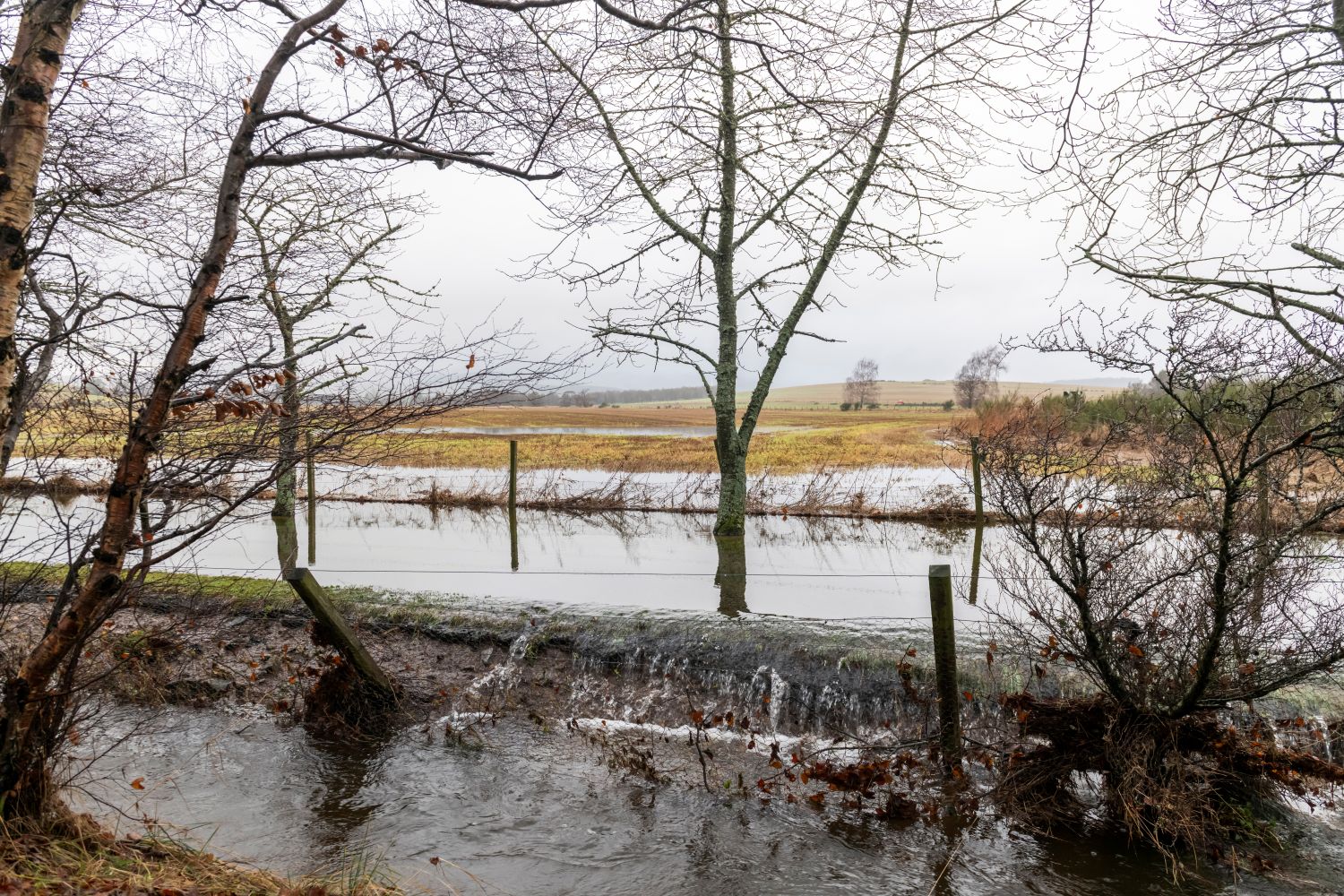
Rivers and burns may also rise quickly, so stay well back from flooded riverbanks and fast-flowing water
Useful links
• Flooding advice: https://floodlinescotland.org.uk/your-home/
• Latest Met Office warnings: https://weather.metoffice.gov.uk/warnings-and-advice/uk-warnings
• Rail services and public transport may be disrupted. Check the ScotRail website for the latest information: https://www.scotrail.co.uk/
• Relevant updates will be shared on Aberdeenshire Council’s social media channels. Find us on Facebook, WhatsApp, Instagram and X